$ whoami
God's Eye View – Open-Source Live 3D Earth Tracker
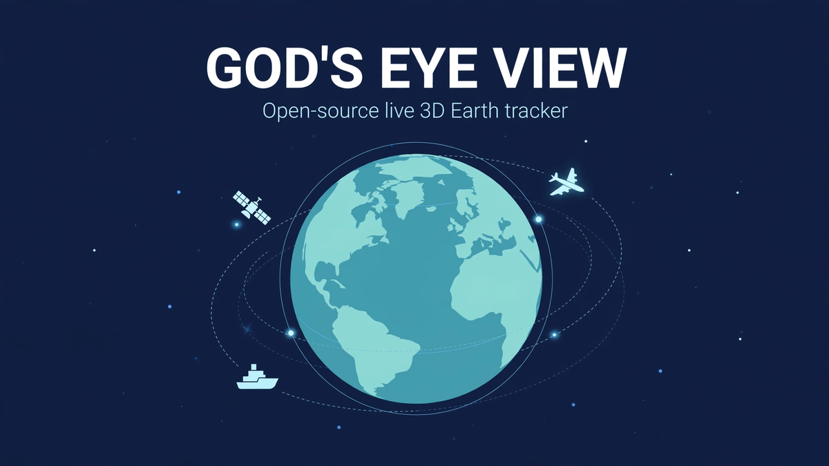
God's Eye View is a free, open-source "spy satellite simulator" that runs entirely in your browser — and the twist is that every signal on the screen is real. Built by Bilawal Sidhu of Halfpixel, it paints live public data onto a photorealistic 3D globe: aircraft in flight, ships at sea, satellites overhead, earthquakes as they happen, public CCTV cameras, internet radio, and wildfires. It hit #1 on GitHub Trending in August 2026, gathered close to 20,000 stars in weeks, and needs no login, no account, and no API keys to start. You clone the repo, run it locally, and the planet lights up.
Quick facts
- What: open-source live 3D Earth tracker ("spy satellite simulator in your browser")
- By: Bilawal Sidhu & Sameh Khamis (Halfpixel)
- License: MIT — free to use, fork, and extend
- Stack: vanilla JavaScript + Vite + CesiumJS, runs locally in your browser
- Repo: github.com/bilawalsidhu/gods-eye-view
- Start: keyless — Esri satellite imagery works with zero setup; optional keys unlock Google photorealistic 3D tiles and voice control
- Not: actual spying — every feed is public data anyone can access
What is God's Eye View?
Imagine the opening shot of a spy movie: a glowing globe, blips for every aircraft, a camera feed that drops you onto a street corner. God's Eye View recreates that cinematic command center — except nothing is classified. The "secret" is that flight transponders, ship beacons, orbital elements, seismographs, and public cameras already broadcast openly, and this project simply puts them all in one explorable place.
The globe itself is rendered with CesiumJS, the same open-source 3D geospatial engine used by serious mapping projects. Out of the box it uses Esri World Imagery with Re:Earth terrain, which looks great with no setup at all. Drop in a Google Maps API key and it switches to Google's photorealistic 3D tiles — full 3D cities you can fly through at street level. The whole thing runs locally: no cloud account, no telemetry phoning home, and no saved history. The project is upfront about that last part — live data is free, but historical playback is where data gets expensive, so the app lives in the present.
It grew out of Sidhu's viral God's Eye View video series (formerly WorldView), which pulled millions of views showing cinematic fly-throughs of live data. When the code went open source under MIT in August 2026, it shot to #1 on GitHub Trending — daily and weekly — and even earned a nod from Brendan Eich, the creator of JavaScript.
The live layers: what's actually on the globe
Every data source is a separate module you can toggle. The headline ones: flights from OpenSky (with an adsb.lol fallback), including military tracks; ships via AIS vessel beacons; satellites propagated from CelesTrak orbital elements; earthquakes from the USGS feed; public CCTV cameras (Austin, Caltrans, TfL London, and thousands more); internet radio stations you can tune into by location; wildfires from NASA FIRMS; and rocket launches from Launch Library 2. Traffic is simulated along real OpenStreetMap roads, and bikeshare docks come from GBFS feeds. If you want the full breakdown of each layer and what it costs to enable, our layers explained guide walks through all of them.
There's also bundled static data for context: roughly 4,300 datacenters, 704 dams, and TeleGeography's submarine cable map. And the signature party tricks: click any flight and ride inside it — the camera locks to the cockpit while terrain streams underneath — pull up a 250 km contacts roster around any point, or flip through sensor modes like FLIR thermal and night vision for the full intelligence-agency aesthetic.
How to run it
You have two paths, and both take minutes. The easiest is Pinokio, the one-click installer for open-source AI apps, which has a God's Eye View package. The manual route is three commands:
git clone https://github.com/bilawalsidhu/gods-eye-view.git
cd gods-eye-view && npm install && npm run dev
You'll need Node 24.14+ or 26. Open the local URL it prints, and you're looking at Earth with live flights already moving. No keys, no signup — the keyless feeds (flights, military tracks, satellites, earthquakes, cameras, radio, launches) all work immediately. Our step-by-step install guide covers both methods plus the common gotchas.
Keyless vs API keys: what's free and what costs
Keyless gets you surprisingly far: the full globe, all the major live layers, and the cinematic camera. API keys unlock two things. First, Google Photorealistic 3D Tiles — real 3D buildings and terrain instead of flat satellite imagery, which is what makes the street-level fly-throughs look unreal. Second, voice control via the OpenAI Realtime API: a hands-free agent you can talk to ("take me to SFO", "show me earthquakes today") while the globe responds. You paste keys into the app's settings, and they're routed through a hardened server-side proxy with SSRF protection and per-provider budgets, so keys never leak to the browser. A few niche layers need their own keys too — AISStream for ships, NASA FIRMS for fires, TomTom for richer traffic.
System requirements
It's a 3D globe in a WebGL browser, so a reasonably modern machine matters more than anything else. Any current Chrome, Edge, Firefox, or Safari works. A discrete GPU helps the photorealistic 3D tiles stay smooth, but the keyless Esri imagery runs fine on integrated graphics. You'll want a decent internet connection — live feeds stream continuously. Disk and RAM needs are modest; the heavy lifting is the GPU and the network.
Is this actually spying on people?
No — and that's the whole point of the project. Every feed is public by design: aircraft broadcast ADS-B transponders, ships broadcast AIS, satellite orbits are published, earthquake sensors are public, and the cameras are publicly listed municipal and traffic feeds. There's no personal data, no phone tracking, no private cameras. It looks like a movie hacker tool, but it's really a visualization of the open signals already surrounding us. That transparency is also why it's MIT licensed — every line of code is inspectable.
FAQ
Is God's Eye View really free?
Yes. MIT licensed, free forever, no login. Optional API keys (Google 3D tiles, OpenAI voice) use your own accounts and their normal pricing.
Do I need to be a developer to use it?
No. If you can install an app, you can run it — Pinokio makes it one click. The terminal route is three commands.
Can it track a specific person or phone?
No. It only shows public broadcast data — vehicles, vessels, satellites, natural events, public cameras. Nothing personal.
Does it work on mobile?
It runs in a mobile browser, but the 3D globe really wants a desktop screen and mouse. Tablets are a middle ground.
How is it different from Google Earth?
Google Earth is a beautiful static atlas. God's Eye View is a live one — everything moves in real time, and you can ride along. Our comparison with alternatives breaks down how it stacks up against other live map dashboards.
The bottom line
God's Eye View is one of those rare projects that is exactly as cool as it sounds: a cinematic, real-time window onto the planet's public signals, running free in your browser. Start keyless in five minutes, add keys later if you want the full photorealistic treatment, and talk to it like a movie AI if you're feeling fancy. The globe is live — go look at it.
Sofia Rossi
Original Post
No discussions yet. Be the first to start!